Woodspoint
Welcome to Woodspoint Home Page
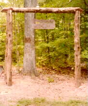
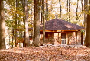
entrance, click photo to enlarge |
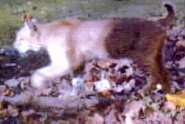
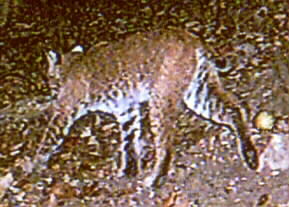
another woodspoint cat
click picture to enlarge |
|
If you are having trouble with links, please reload page from here. RELOAD
WOODSPOINT WILDERNESS
Woodspoint Wilderness consists of land that was owned by the Dow family, ancestors of
Alice Scott, in the 1800's. After the turn of the century, the land was sold out of
the family; then in 1960, Jack and Alice Scott bought the land and began to lay the
groundwork for the present nature refuge and retreat center. It is used for hikes,
for retreats, for workshops, and for picnics and parties by members of the family and by
groups by appointment. Adjacent land is owned by family members, the family holdings
totaling some 500 acres of woods which is bounded by Otter Creek Park on one side and by
Fort Knox land, thus providing a vast acreage altogether for wildlife habitat. The
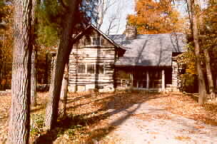
log cabin was built by Lester Ransley in the 1920's, using native materials and local
workmen to help with moving stones and logs, and with the actual construction.
Wildlife, which is protected here, is abundant in the forest; nature groups use certain
areas for observation walks, especially fern and wildflower hikes. Animals include
foxes, rabbits, raccoon, squirrels, otter, white-tail deer, bobcat, and coyotes,
Birds here include eagles.
The history of the area includes an account of one of the last Indian skirmishes
in Kentucky which took place here "in the forest downstream from the Rock Haven
Landing". An important event in Indian history occurred in 1809, when the great
Shawnee chief, Tecumseh, met in conference near the mouth of Otter Creek with the tribes
of the north and tribes of the south in an attempt to form an Indian confederacy to repel
the white settlers in the Ohio valley. Another chief remembered here is Piomingo, a
chief of the Mingoes. On an early map in the state Historical Museum in Frankfort, a
town named Ohiopiomingo is shown on the river downstream from the Rock Haven Landing on
the land which is now Woodspoint Wilderness. Ohiopiomingo, a paper town established
in 1795 by an Englishman, was to be considered for the national capital city. Named
for the Indian chief, the town was never built, but was part of a grandiose scheme for
settling this part of the country.
Remains of four log homes are found with their old dug wells and flower gardens which
still bloom, reminders of the work of the hands of our grandmothers and
grandfathers. Froman Hollow has a clear flowing stream entirely in the bounds of
Woodspoint. Oak, walnut, beech and sycamore line the banks, and wildflowers are
abundant.
There is a small campsite on the creek under an old beech tree, covered with names
going back 60 years or more. In 1940, Jack and Alice carved their initials on the
tree.
Under the cliff, downstream from Froman Hollow, is an unusual animal trail where
flowers bloom and the water falls are misty in springtime. In winter, there are
massive ice formations under the cliffs. The trail leads to the old railroad spring
and waterfall under the bluff.
On the highest point if land is the Dow cemetery. Family members
were buried here during the last century and the early part of this century. This site hosted by 
